Cardiff Airport (CWL)
City Orientation and Maps
(Cardiff, Wales)
Located in South Glamorgan on the southern side of Wales, Cardiff is the country's capital city. Home to a number of world-class attractions, the city of Cardiff is located close to Butetown, Canton, Cathays, Grangetown, Llandaff and Splott, all of which are sited around the city's outskirts.
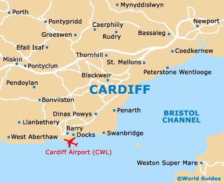
Further afield, Bristol can be reached in just over an hour, being connected to Wales via the stylish Severn Bridge, along which a toll is payable from the England to Wales direction. To the south-west and close to the suburb of Barry, Cardiff International Airport (CWL) is one the country's premier airports and features regular direct flights to prominent locations around Europe and throughout the United Kingdom.
Cardiff International Airport (CWL) Maps: Important City Districts
Cardiff enjoys a waterfront location, being situated alongside the Mouth of the Severn, which is also known as the Bristol Channel. The very heart of Cardiff is situated around 1.5 km / 1 mile inland and can be reached along the Lloyd George Boulevard.
Central Cardiff is easily walkable and features a range of shops, including a large collection of outlets in the St. David's Shopping centre. Many large department stores are located nearby, with surprisingly spacious interiors.
Just a short drive from the centre, Cardiff Bay is based around the docklands area and was transformed in 1987, following the modern tidal barrage that was installed at the cost of more than £200 million. Today the harbourside is home to a collection of trendy restaurants, bars and waterfront attractions, together with the Mermaid Quay shopping centre. Just minutes away is the spectacular Millennium Stadium, which dominates the area with its eye-catching bronze-effect roof and seating capacity of more than 70,000. An eye-catching mirrored water feature stands nearby, famous for appearing on the BBC television series' Torchwood'.
United Kingdom Map

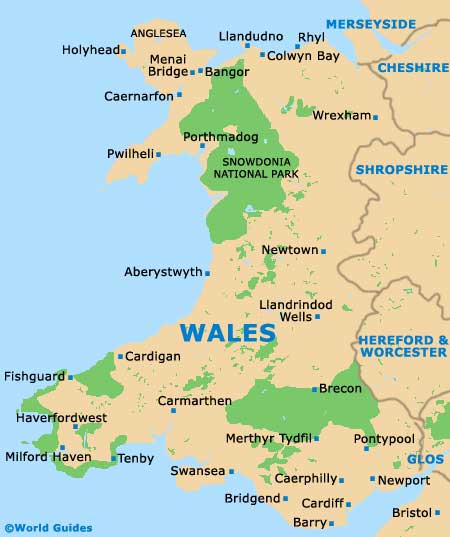
Wales Map

Cardiff Map


